The road between Québec City and the Côte-Nord is one of the country's most beautiful road trips: Route 138 climbs, dips and dives toward the river through Charlevoix, then crosses the mouth of the Saguenay into whale country. We drive it several times a year — here are our stops, in order, with the detours that are truly worth it.
Baie-Saint-Paul and the River Route
Your first real stop is Baie-Saint-Paul, the art-gallery capital nestled in its valley. Leaving the village, trade the 138 for Route 362, the “route du Fleuve”: through Les Éboulements and Saint-Irénée, it winds along a balcony above the St. Lawrence — the finest detour of the whole itinerary, worth repeating in the other direction on your way back.
La Malbaie and the Hautes-Gorges
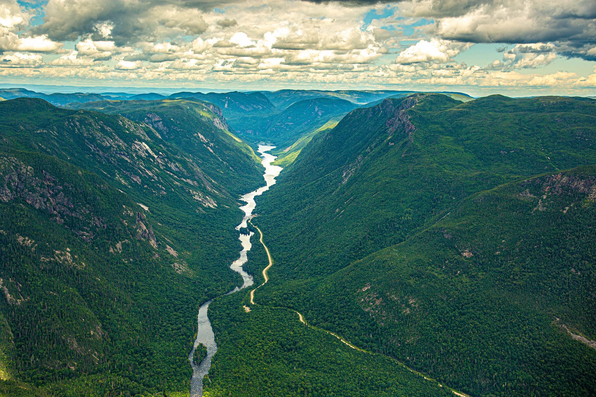
In La Malbaie, the 19th-century resort atmosphere still lingers around Pointe-au-Pic and its famous manor. But the detour people remember is to the north: Hautes-Gorges-de-la-Rivière-Malbaie National Park, with the Acropole des Draveurs hike — demanding (allow 4 to 6 hours), but rewarded with one of the most spectacular panoramas in eastern Canada. The contemplative version: the cruise on the Malbaie river, hemmed in by 800-metre walls.
Fun fact: our Hautes-Gorges 90 flight passes directly over this scenery — the Acropole from above, without the 800 metres of climbing.
From Saint-Siméon to Baie-Sainte-Catherine
Route 138 meets the river again at Saint-Siméon. Two quick stops deserve a photo break: the hamlet of Port-au-Persil, with its little chapel at the edge of the cove, and the lookouts that multiply as you approach the mouth of the Saguenay. The road ends (for now) at Baie-Sainte-Catherine, at the ferry wharf.
The Crossing to Tadoussac
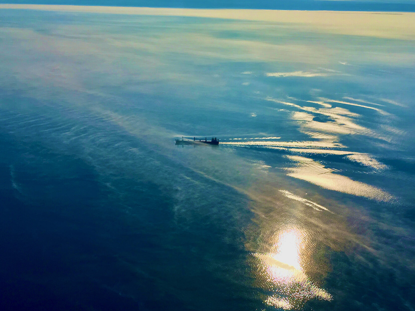
The Baie-Sainte-Catherine–Tadoussac ferry is free, runs continuously day and night, and the crossing takes about ten minutes — but what a crossing: you traverse the very mouth of the Saguenay fjord, where belugas regularly pass. Keep your camera handy; in fog, it is one of the most atmospheric moments of the trip.
On the other side, Tadoussac awaits — we have prepared a complete 2-3 day itinerary for that part of your stay.
Tadoussac → Les Escoumins: the Last 40 Kilometres
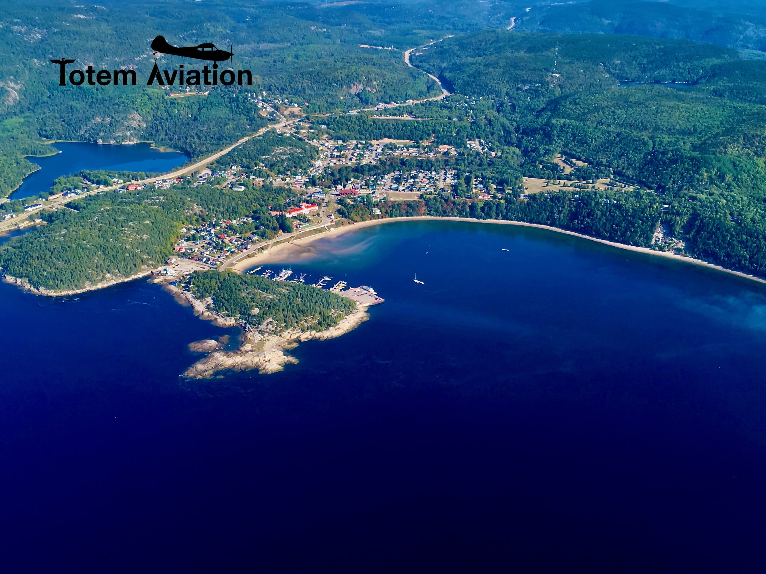
Past Tadoussac, the 138 follows the estuary through Les Bergeronnes — stop at the Cap-de-Bon-Désir observation site, where fin whales sometimes feed a stone's throw from shore — and reaches Les Escoumins, our home port. This is where the road trip can gain altitude: our aerodrome is 10 minutes from the village.
Our Road Tips
- ›Allow 2 to 3 days minimum for the full Québec City → Les Escoumins itinerary: doing it in one go (about 3.5 hours of driving) means missing the best of it.
- ›From mid-September to early October, Charlevoix and the Côte-Nord turn into a carpet of colour — the finest season for this road, and for our fall flights.
- ›The ferry takes no reservations: in July-August, expect a possible wait at peak hours.
- ›Gas stations thin out after La Malbaie — fill up before the long forested stretches.
Frequently asked questions
How long does it take from Québec City to Tadoussac?
About 215 km and 3 hours of direct driving, ferry included. But the whole point of this itinerary is not to do it in one go: count on a full day with the Charlevoix stops.
Does the Tadoussac ferry take reservations? How much does it cost?
It is free and first-come, first-served. It runs 24 hours a day, with very frequent departures during the day.
Can you see the Hautes-Gorges without hiking the Acropole?
Yes: the Malbaie river cruise offers an accessible version, and our Hautes-Gorges 90 flight offers the aerial one — the massif, the Acropole and the manors of Charlevoix in 90 minutes from Les Escoumins.
Replay the Whole Itinerary… in a 90-Minute Flight
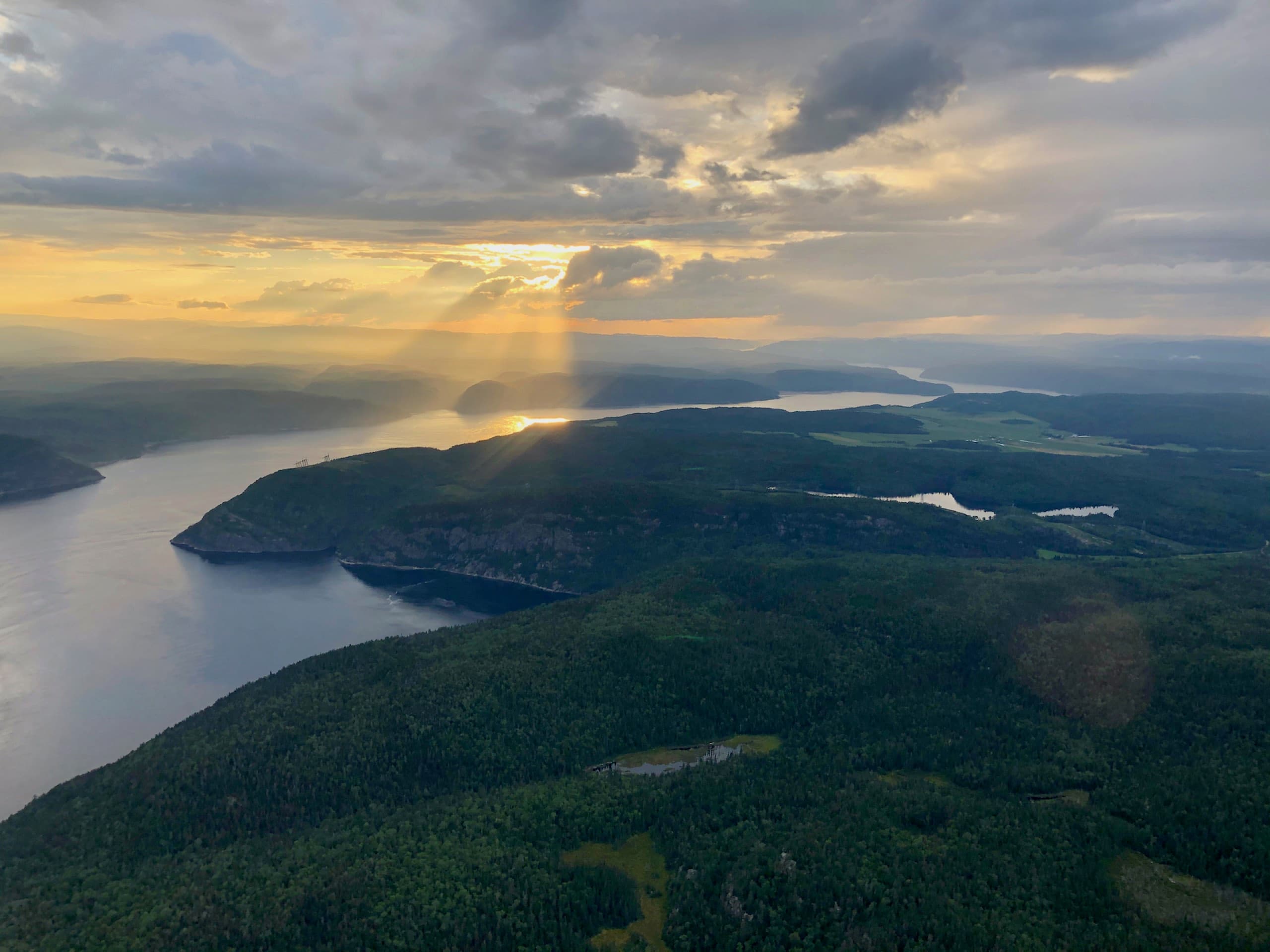
The Hautes-Gorges 90 flight links Les Escoumins to L'Anse-Saint-Jean via Tadoussac and La Malbaie: the fjord, the manors of Charlevoix and the Acropole des Draveurs from the sky — from $299/person + taxes.
Discover the Hautes-Gorges 90 Flight