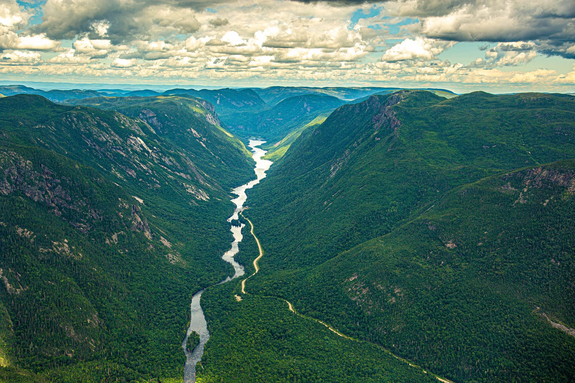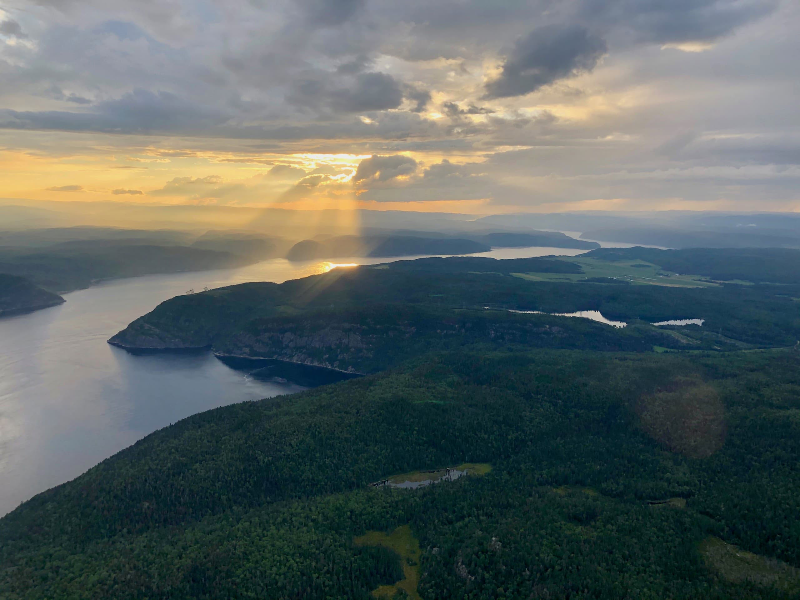
We fly over the Saguenay fjord almost every day of the season, and it still impresses us. From the water, you feel tiny at the foot of the capes; from the sky, the whole geography suddenly makes sense — a dark, straight gash cut into the Canadian Shield, meeting the St. Lawrence exactly where the whales gather.
Here is what you need to know to appreciate the fjord, where to see it from the ground, and what the aerial perspective adds.
A Glacial Canyon Invaded by the Sea
The Saguenay fjord is one of the longest fjords this far south anywhere in the world: about 105 kilometres between Lac Saint-Jean and Tadoussac, carved by glaciers and then invaded by the sea. Its walls rise more than 300 metres above the water — Cap Trinité and Cap Éternité are the stars — and its depths reach about 270 metres.
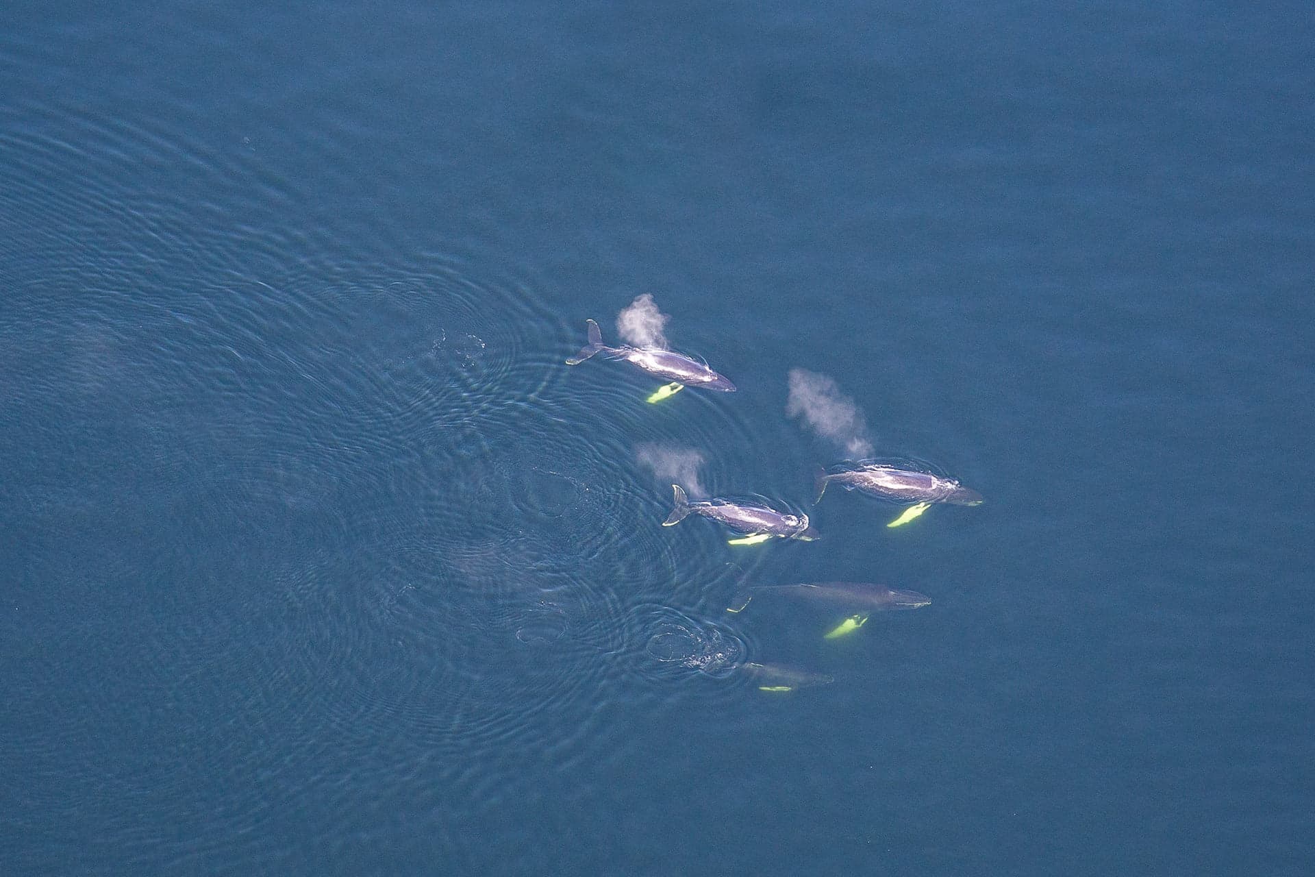
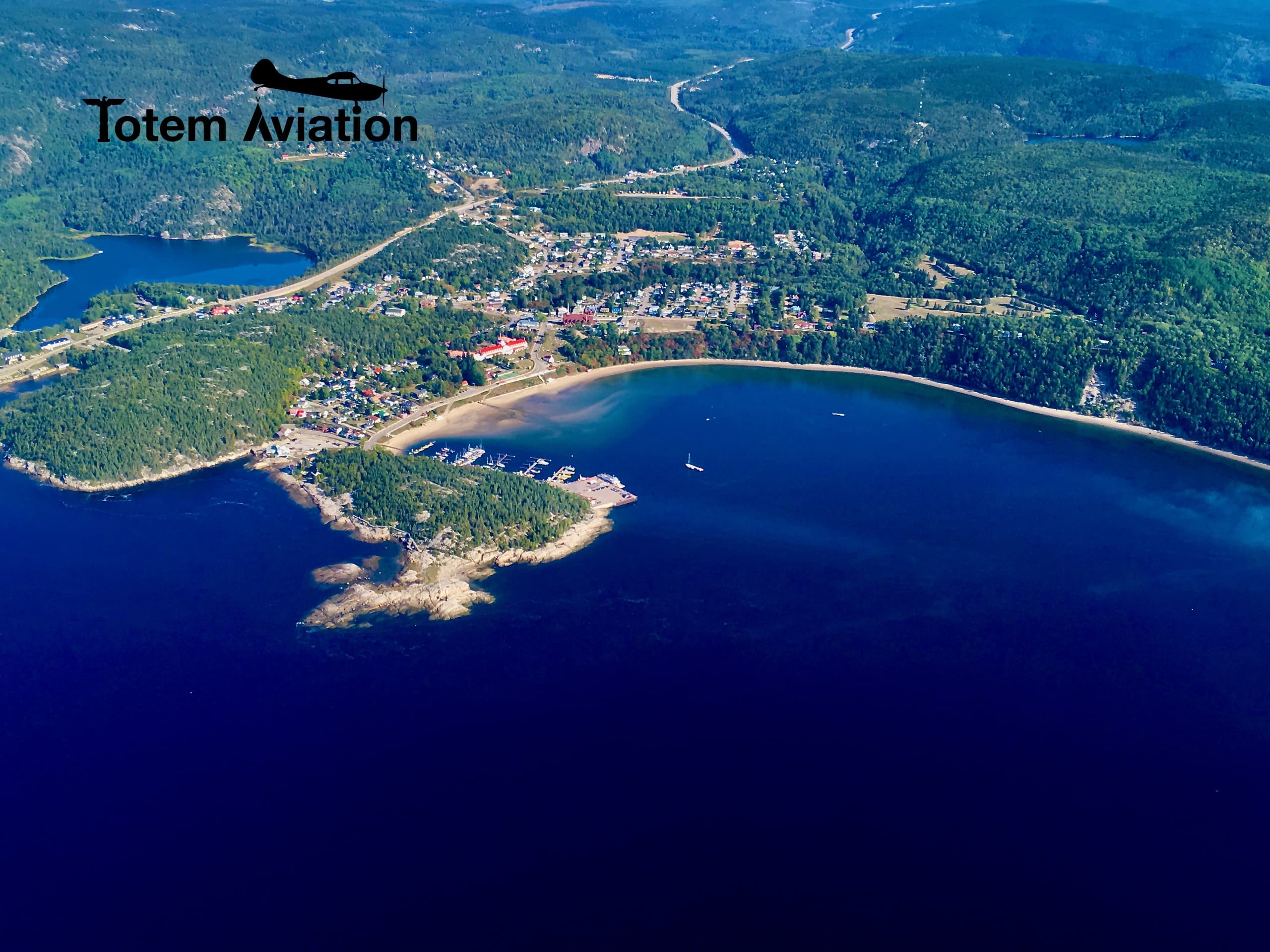
At its mouth, the fjord's waters meet the St. Lawrence at Tadoussac: this rich, tide-stirred marine crossroads explains the region's exceptional concentration of whales — we detail the mechanism in our article on the best time to see whales.
Two Worlds Stacked in the Same Water
The fjord hides a fascinating quirk: a thin layer of fresh water, warmed in summer, floats on a mass of cold, dark salt water of arctic origin. Two ecosystems coexist vertically: at the surface, water that could pass for a lake; below, cold-sea species — all the way to the Greenland shark.
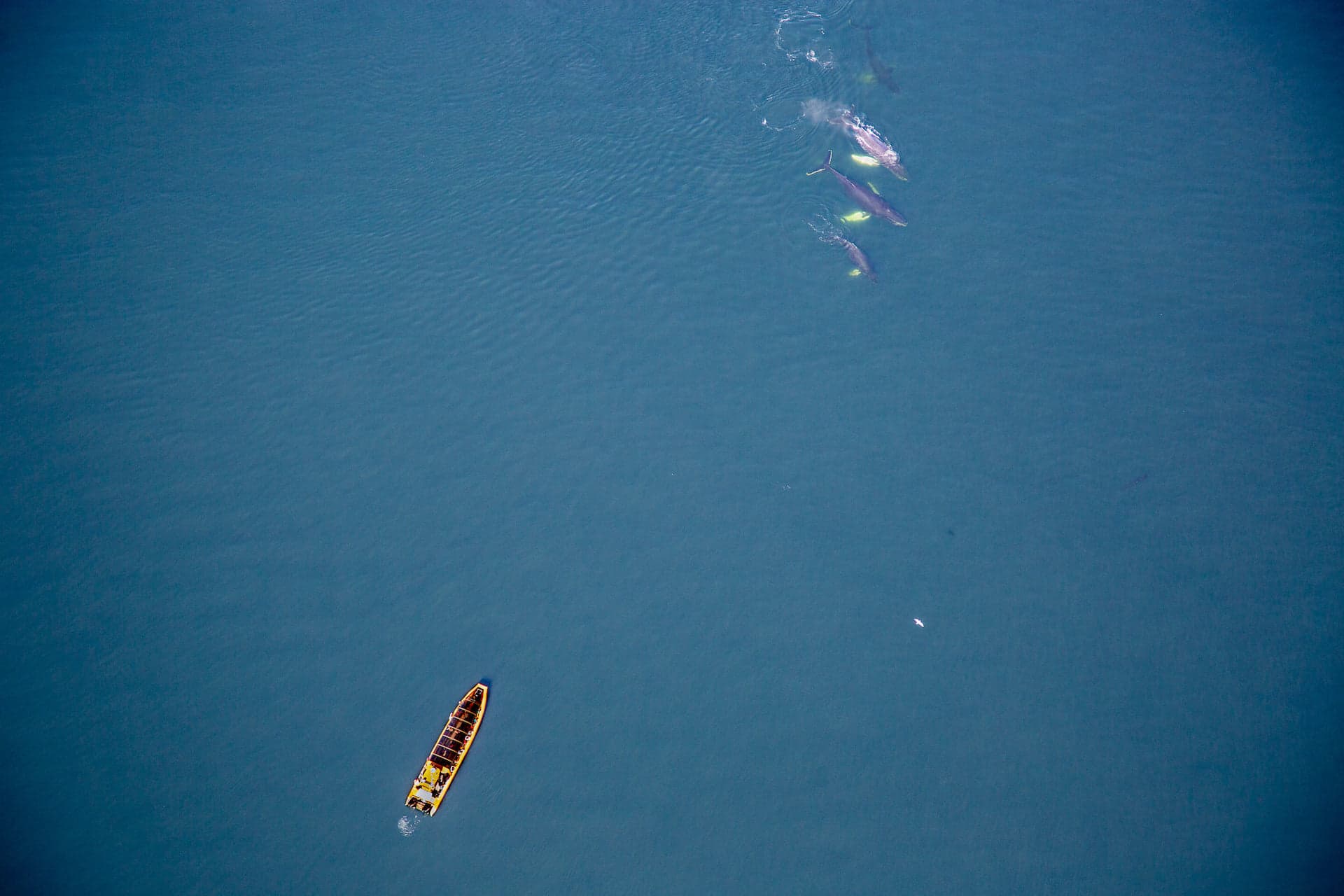
This also explains the presence of belugas, which frequent the mouth of the fjord and regularly swim up to Baie Sainte-Marguerite. An important reminder: you never approach them — regulations require boats to keep 400 metres away.
The Must-Sees on the Ground
- ›Baie-Sainte-Marguerite (Fjord-du-Saguenay National Park) — the Halte du Béluga trail, the best shore-based beluga observation site.
- ›L'Anse-de-Roche (Sacré-Cœur) — a lookout and marina with a sweeping view over the fjord; perfect at sunset.
- ›Cap Trinité — the Notre-Dame-du-Saguenay statue (1881) has watched over the fjord from its ledge; reached by a demanding trail or, more easily, by cruise.
- ›Sainte-Rose-du-Nord — the “jewel of the fjord,” a village tucked between two capes, with a photogenic wharf.
- ›L'Anse-Saint-Jean — covered bridge, marina and water shuttles; the ideal base for exploring the upper fjord.
The Fjord from the Air: the Missing Piece
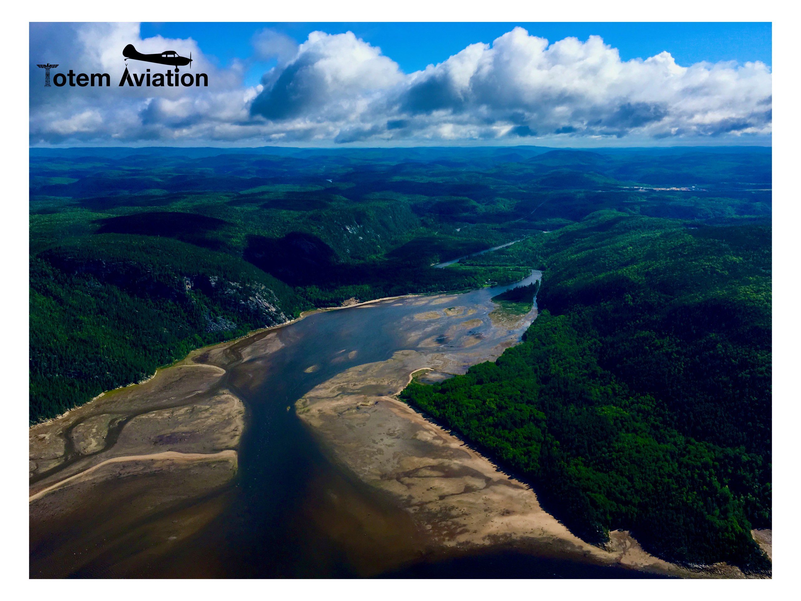
From the ground, the fjord reveals itself in fragments: a lookout here, a cove there. From the sky, everything comes together in minutes: the straight fault line, the capes facing each other, the hanging valleys, and that sharp boundary where the dark Saguenay water meets the St. Lawrence. On clear days you can even make out the shallows and the turquoise tints of the shallow bays.
Our Fjord 30 (30 minutes, from $139) takes you to the mouth of the fjord and Tadoussac; the Fjord 45 (45 minutes, from $199) flies up the fjord to the Sainte-Marguerite river — the complete overflight of everything this article describes.
Our Pilot Tips
- ›Fall (mid-September to early October) sets the fjord walls ablaze — our most spectacular flights of the year.
- ›The morning fog clinging to the capes is beautiful from above, but can delay a flight: keep some flexibility in your schedule.
- ›If kayaking or cruising, leave early: wind often picks up in the afternoon in the fjord corridor.
- ›Combine perspectives: lookouts one day, the flight the next — the order our passengers prefer.
Frequently asked questions
Can you drive along the fjord?
Not continuously: no road follows the rim. Route 172 (north shore) and Route 170 (south shore) come close in places, with specific access points — Baie-Sainte-Marguerite, L'Anse-de-Roche, Sainte-Rose-du-Nord, L'Anse-Saint-Jean. Which is exactly why the aerial view is so different.
What is the difference between the Fjord 30 and Fjord 45 flights?
The Fjord 30 (30 min) covers the coast between Les Escoumins and Tadoussac, including the mouth of the fjord. The Fjord 45 (45 min) adds the flight up the fjord to the mouth of the Sainte-Marguerite river — the fjord lover's choice.
Do you see whales during a fjord flight?
Often, yes: the route follows the St. Lawrence estuary where the rorquals feed, and belugas frequent the mouth of the Saguenay. The scenery itself is guaranteed on every flight.
The Whole Fjord, in 45 Minutes
The Fjord 45 flight follows the Saguenay fjord from Tadoussac to the Sainte-Marguerite river: capes, turquoise coves and the meeting of the waters — from $199/person, plus taxes.
Discover the Fjord 45 Flight